
Intro
Intro
Website


Website
McKnz is a collection of work shaped by a life lived outdoors, on the road, and fully in the moment.
This website brings together my photography, artwork, and design — all born from years of exploring nature, travel, machines, and movement.
Every shirt, print, and photo book reflects something real: something seen, felt, or experienced.
This is a space for people who appreciate simplicity, meaning, and pieces that carry a story.
ARTWORK


ARTWORK
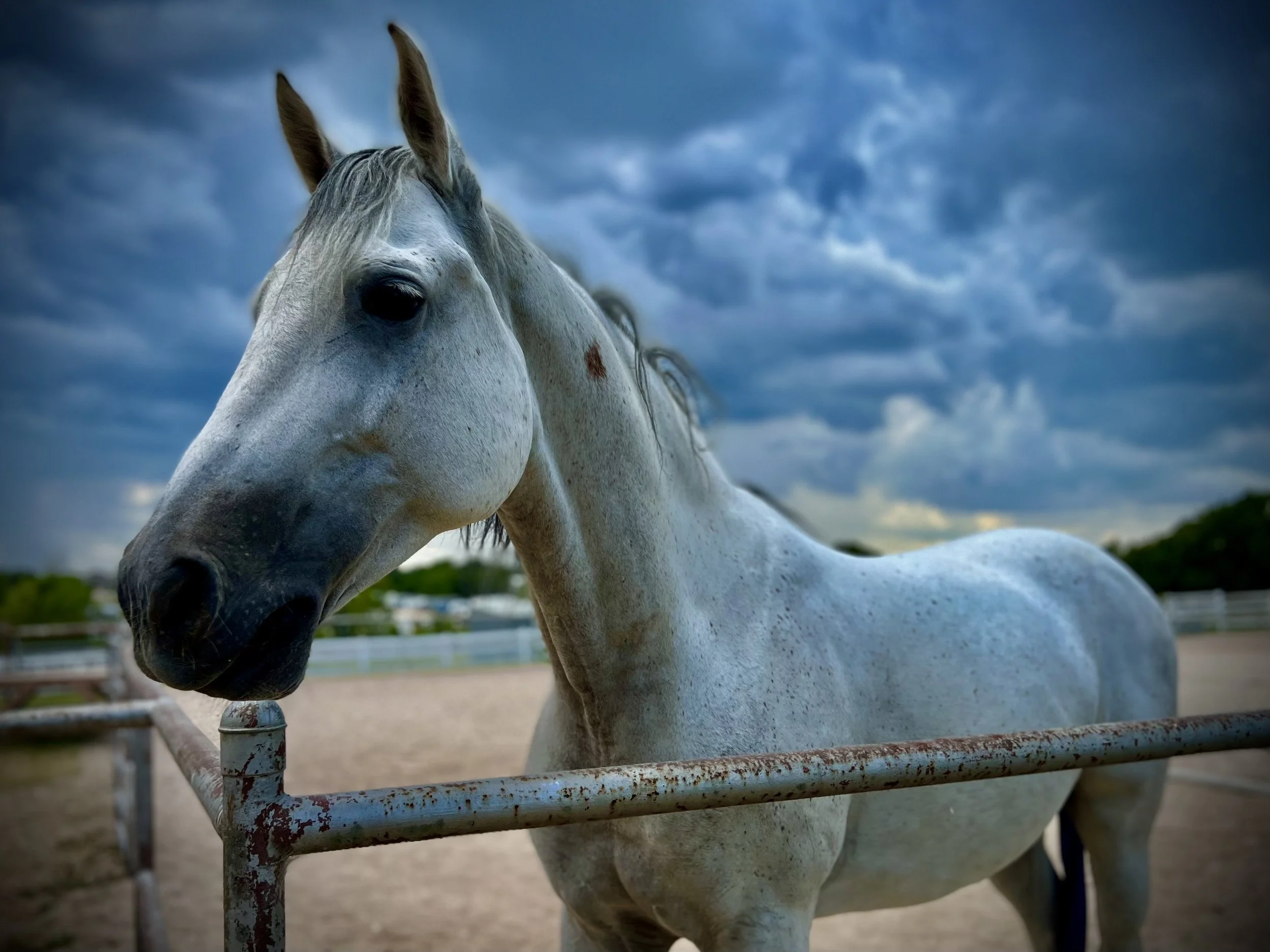
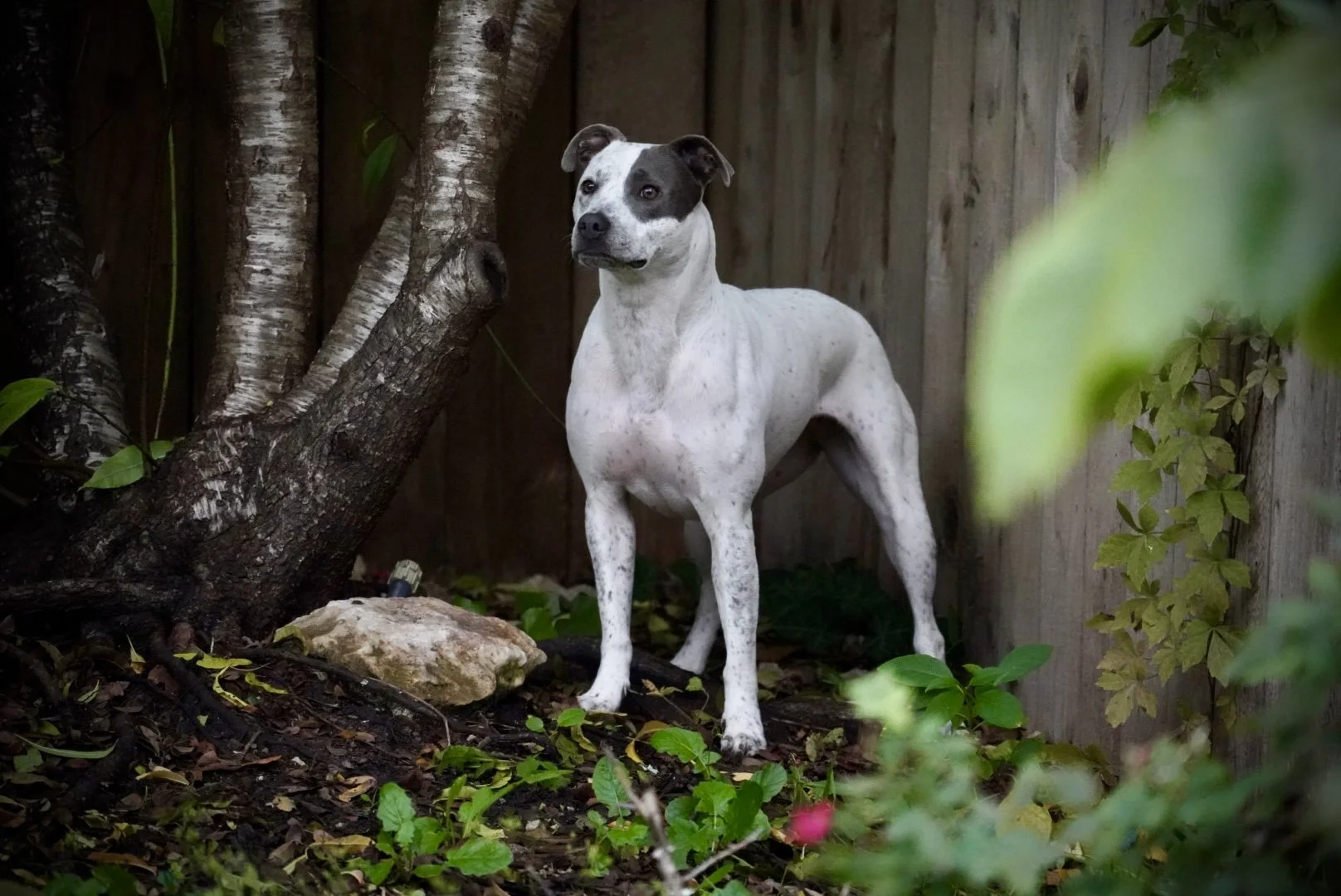
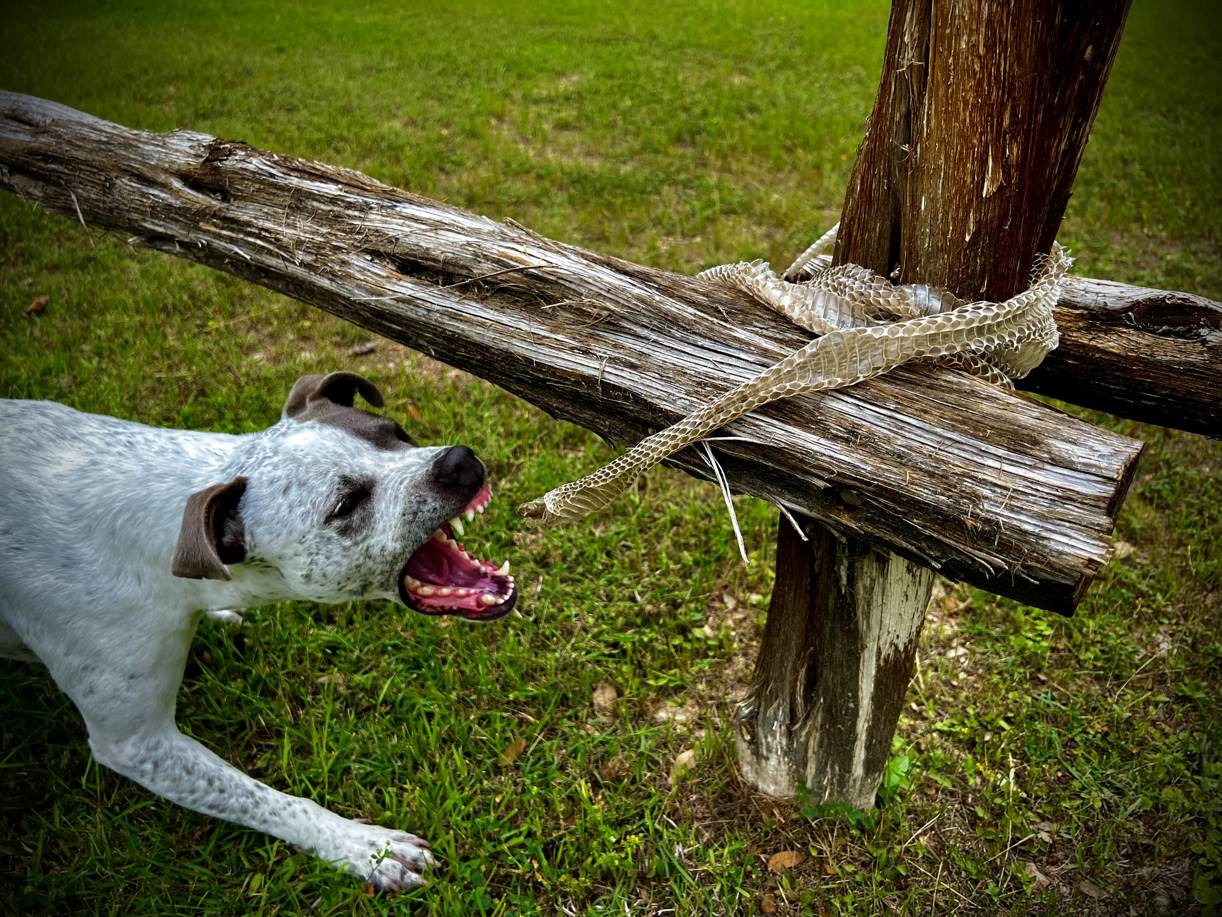
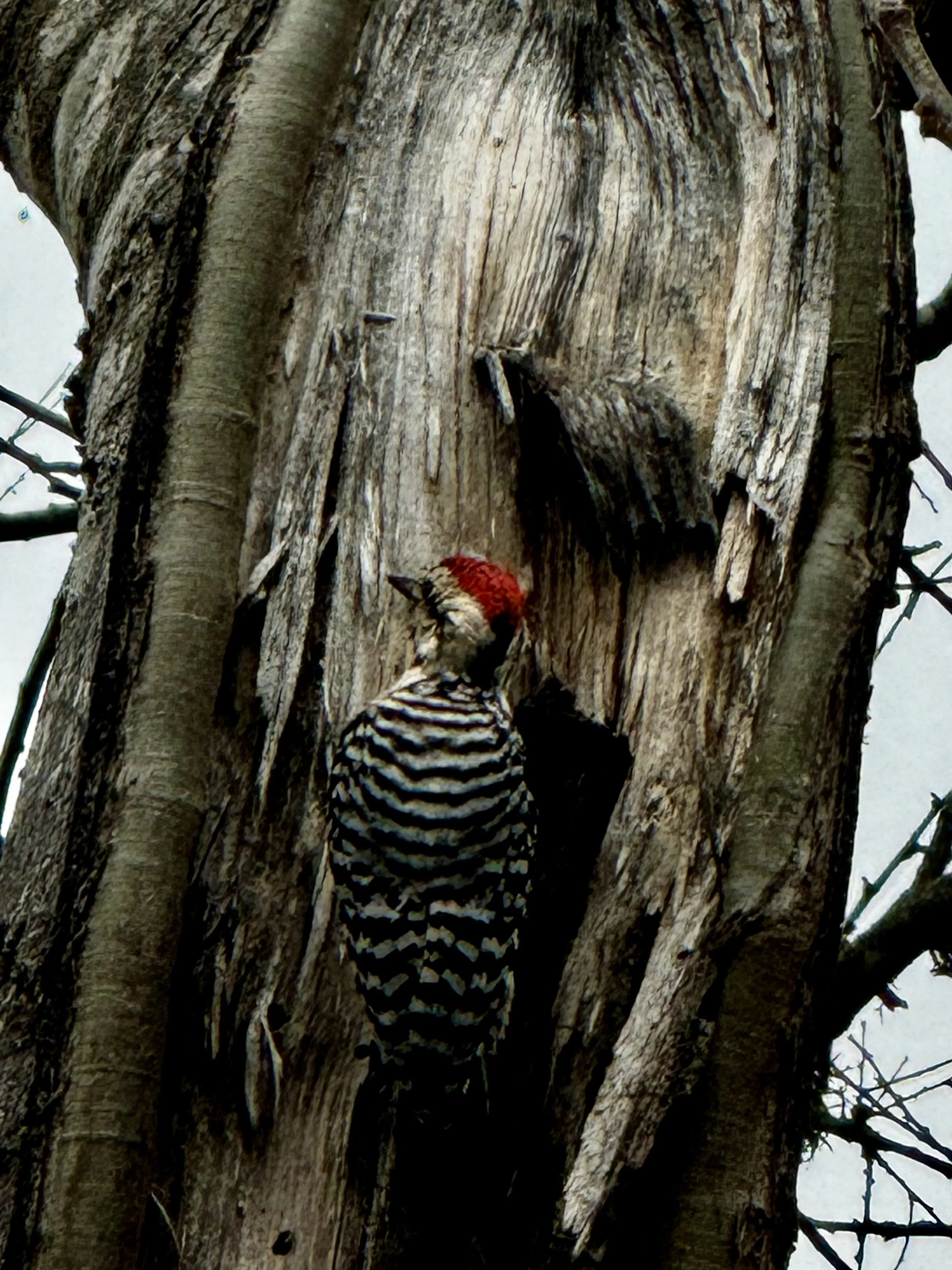
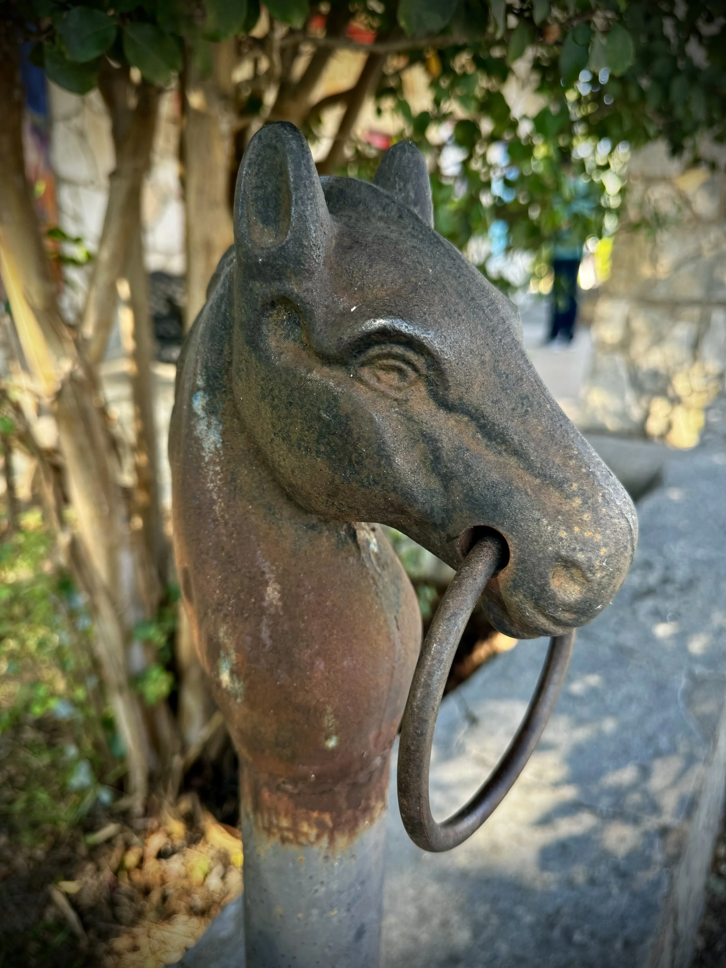
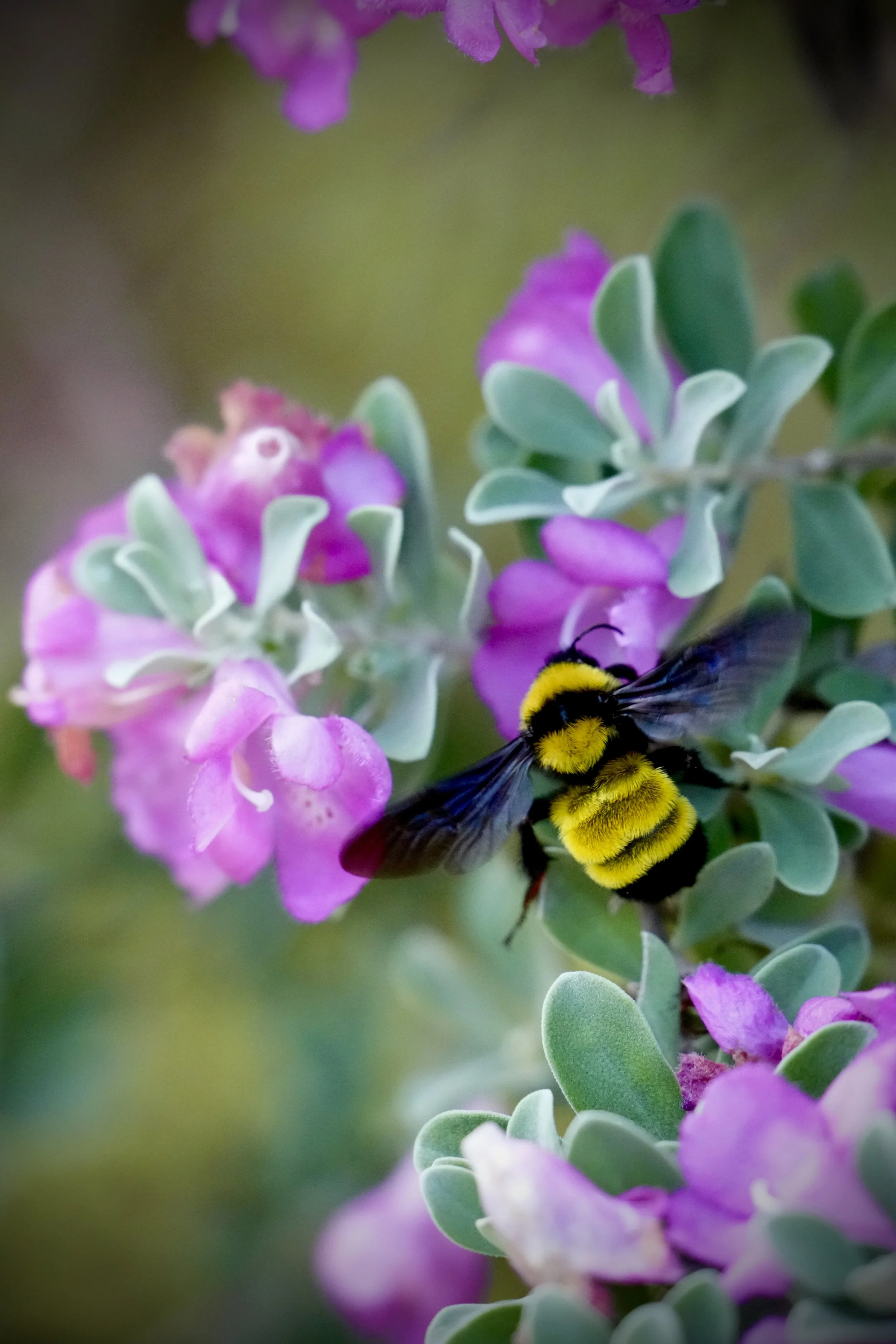
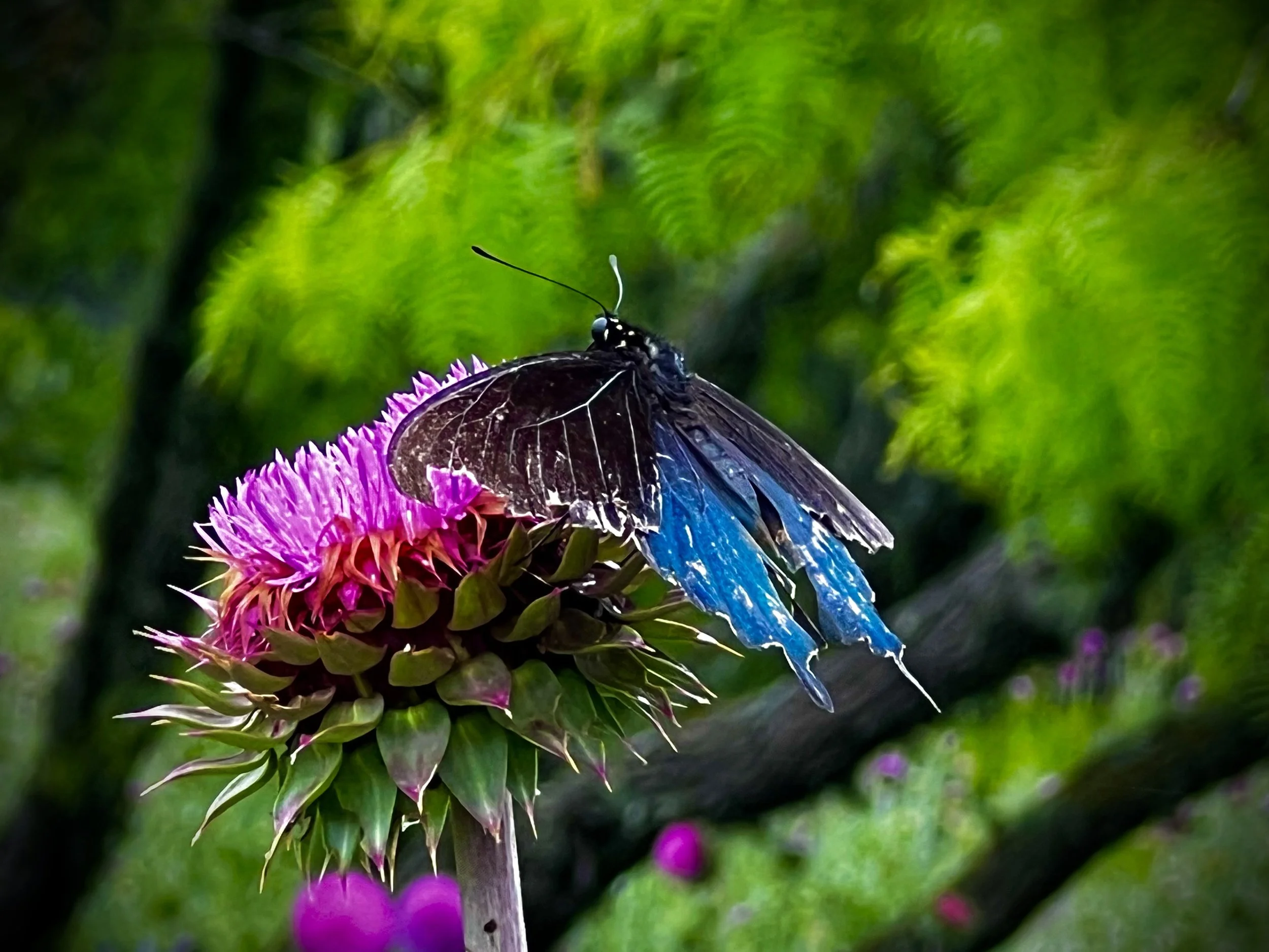
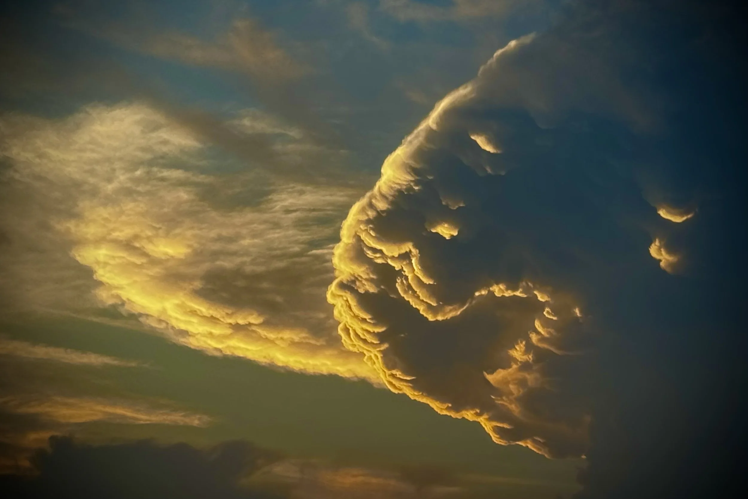
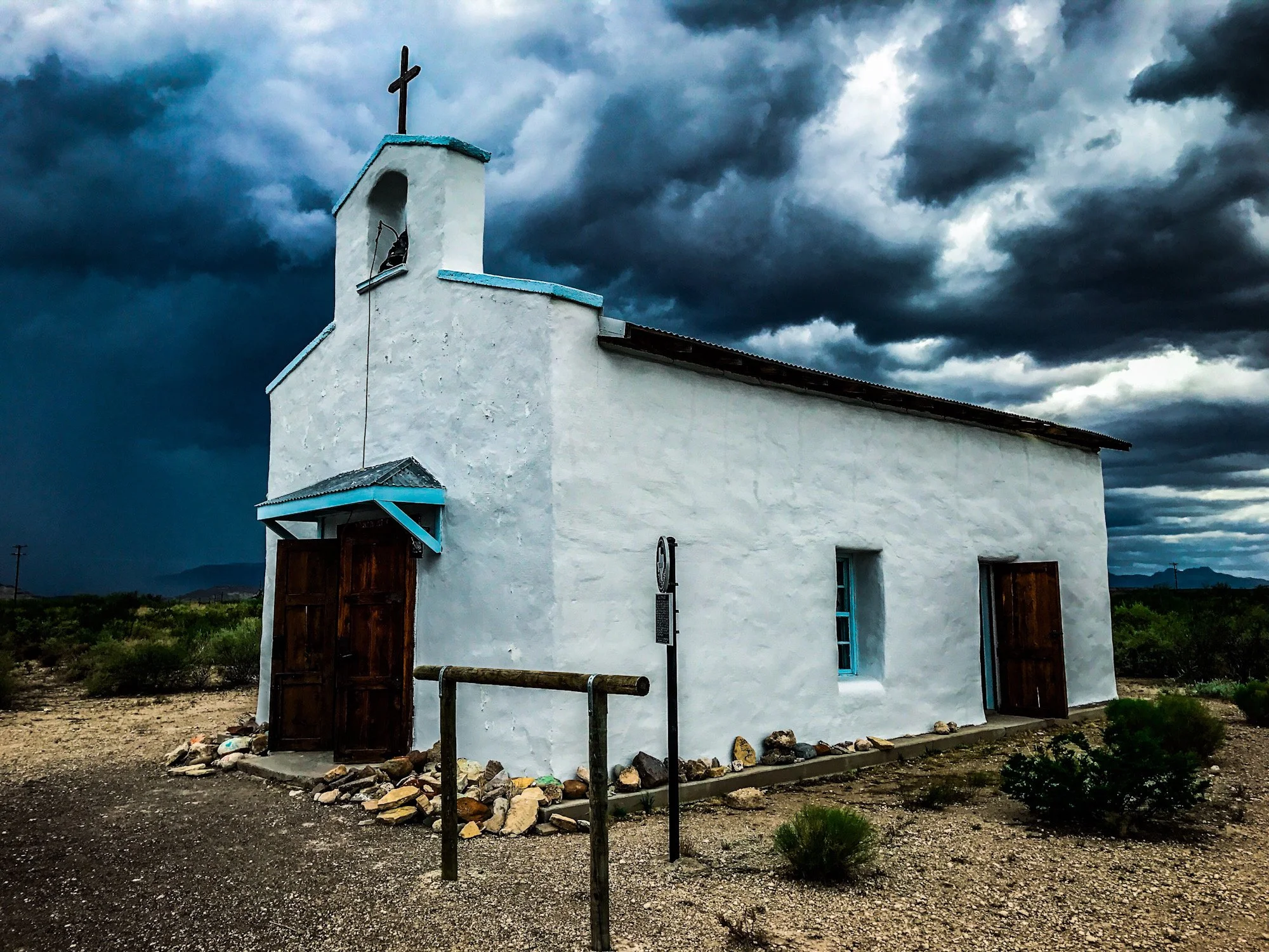
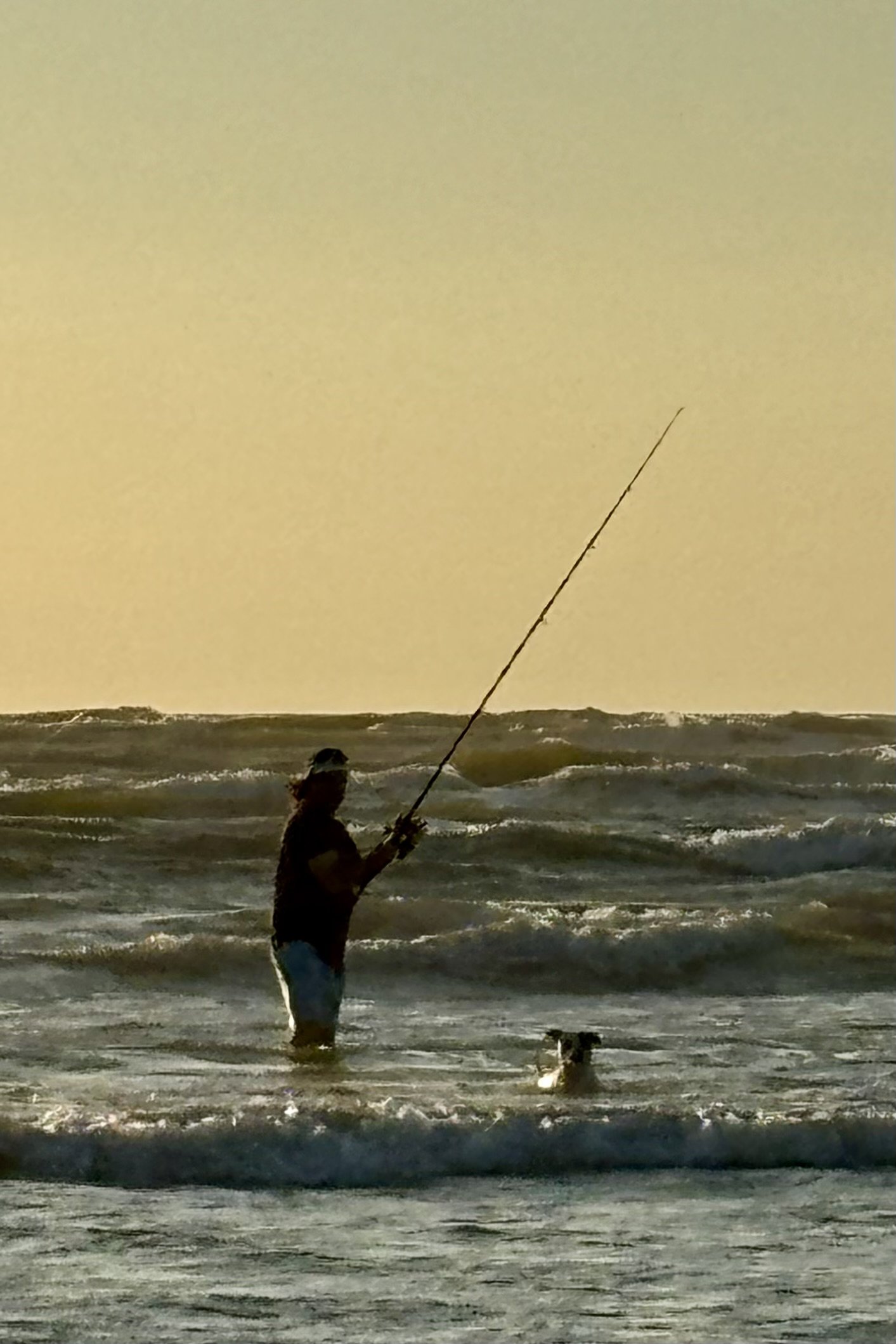
My artwork blends photography, design, humor, and the simple beauty found in everyday life.
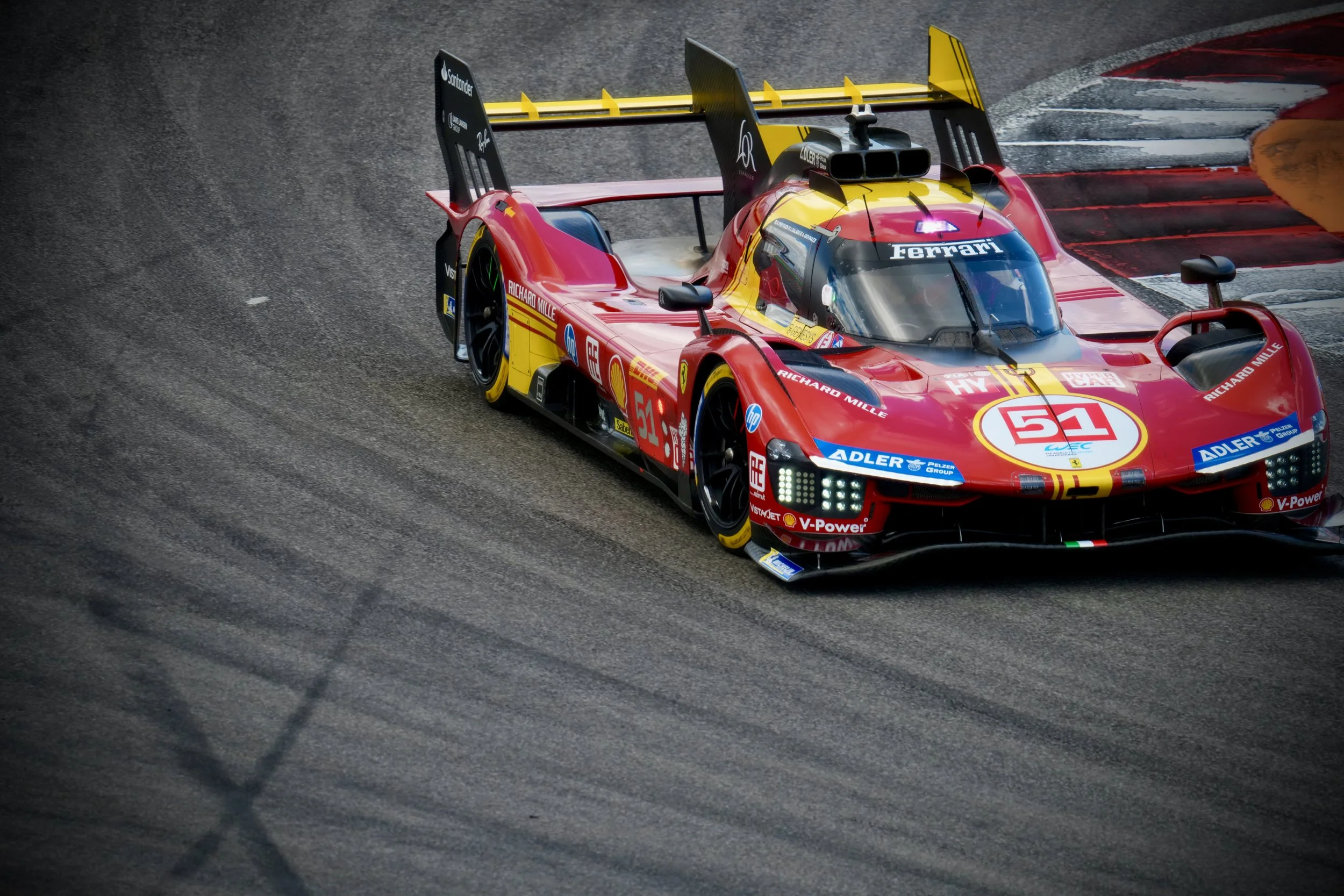
Some pieces are quiet and artistic; others are bold, funny, or unapologetically different. Many come from wildflowers, trails, backroads, and open landscapes — while others grow from my love of motorcycles, movement, and the freedom of being out in the world.
I don’t chase trends. I capture moments.
Everything here reflects something true — and hopefully something that resonates with you.
CRAFTSMAN

CrAftsman
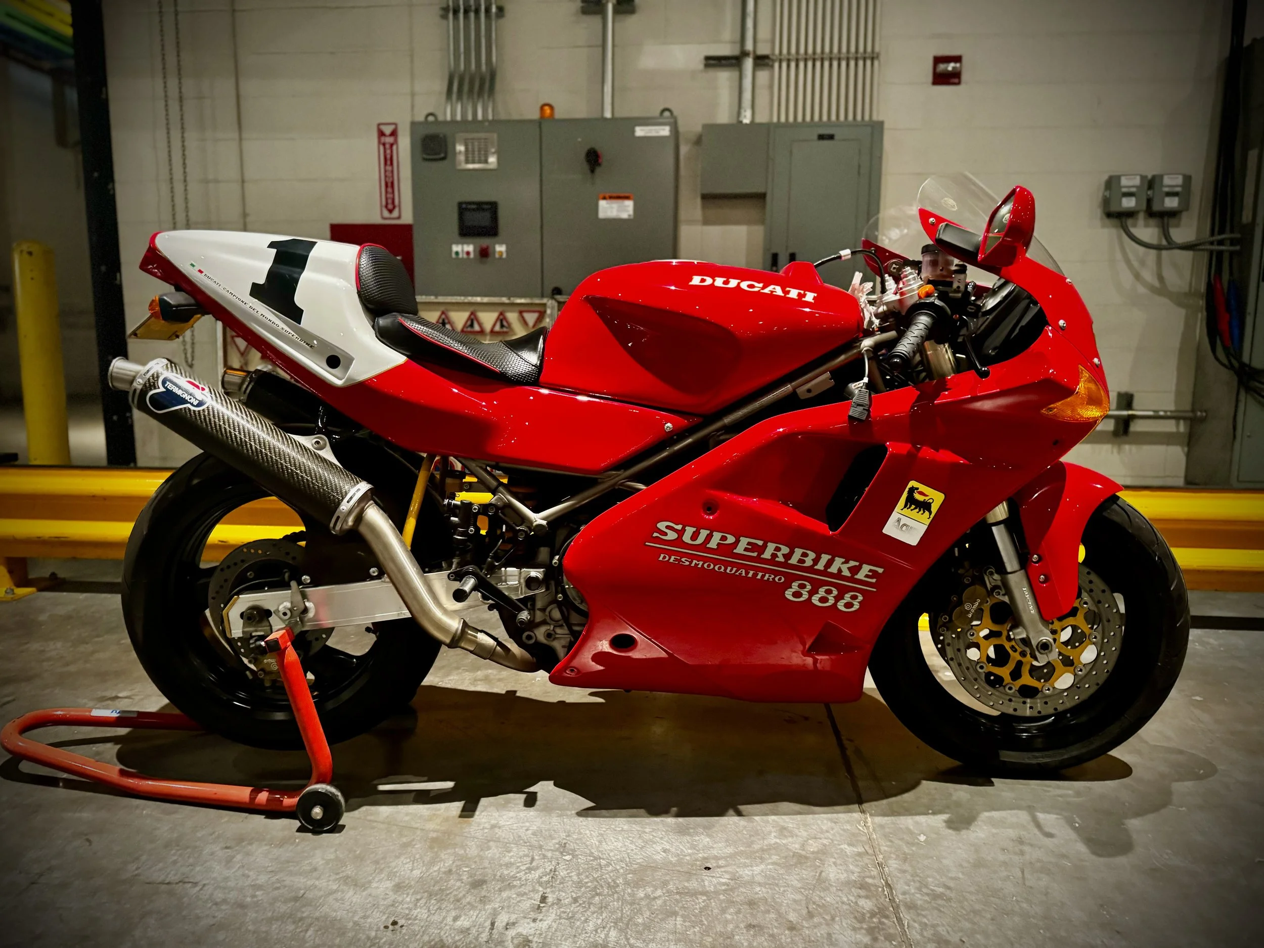
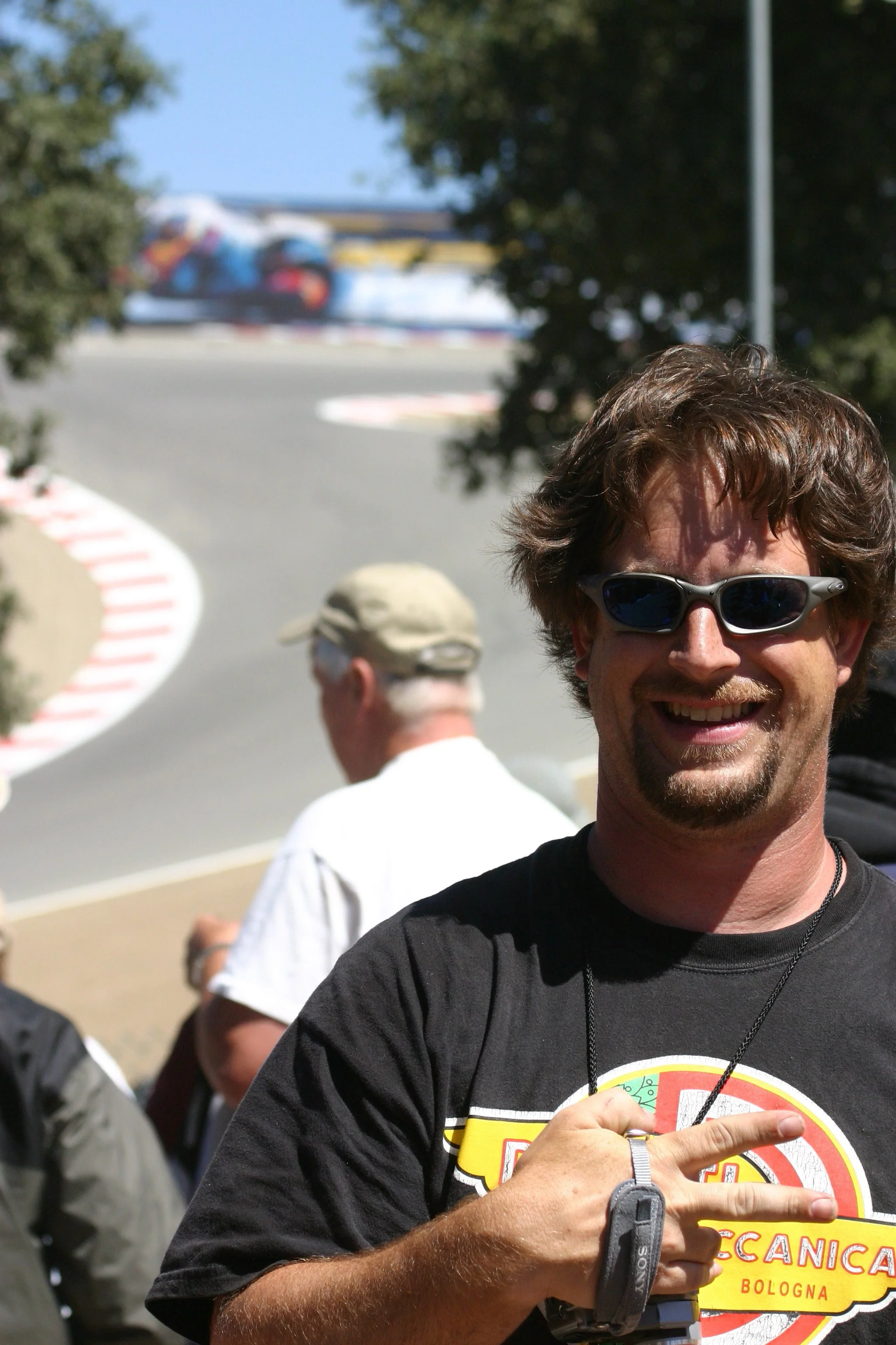
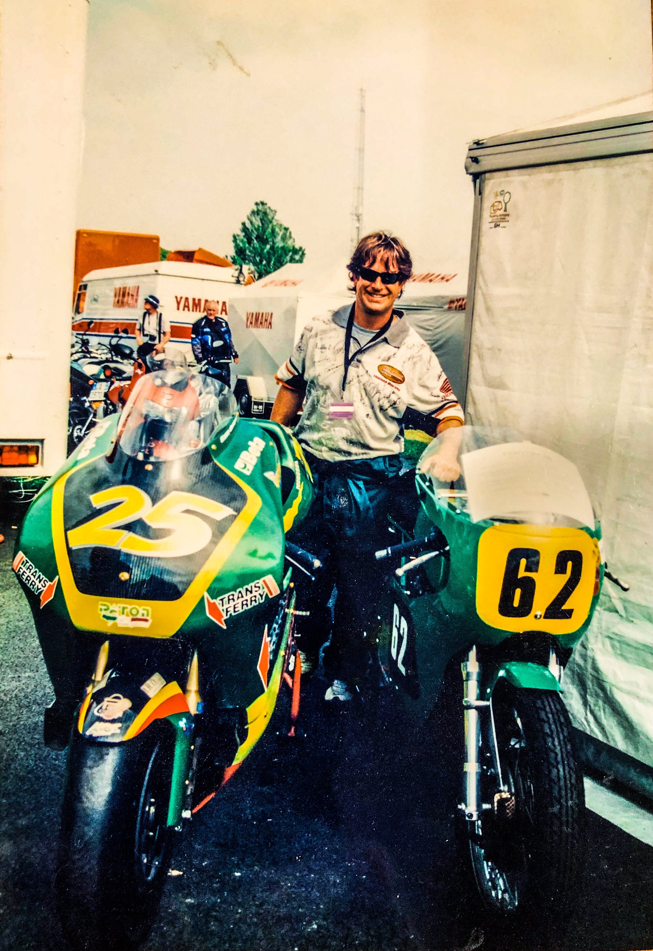
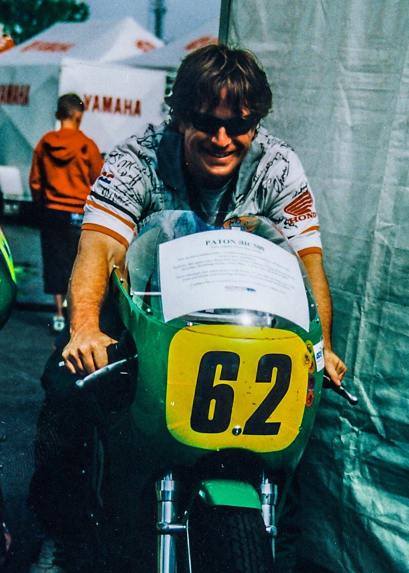
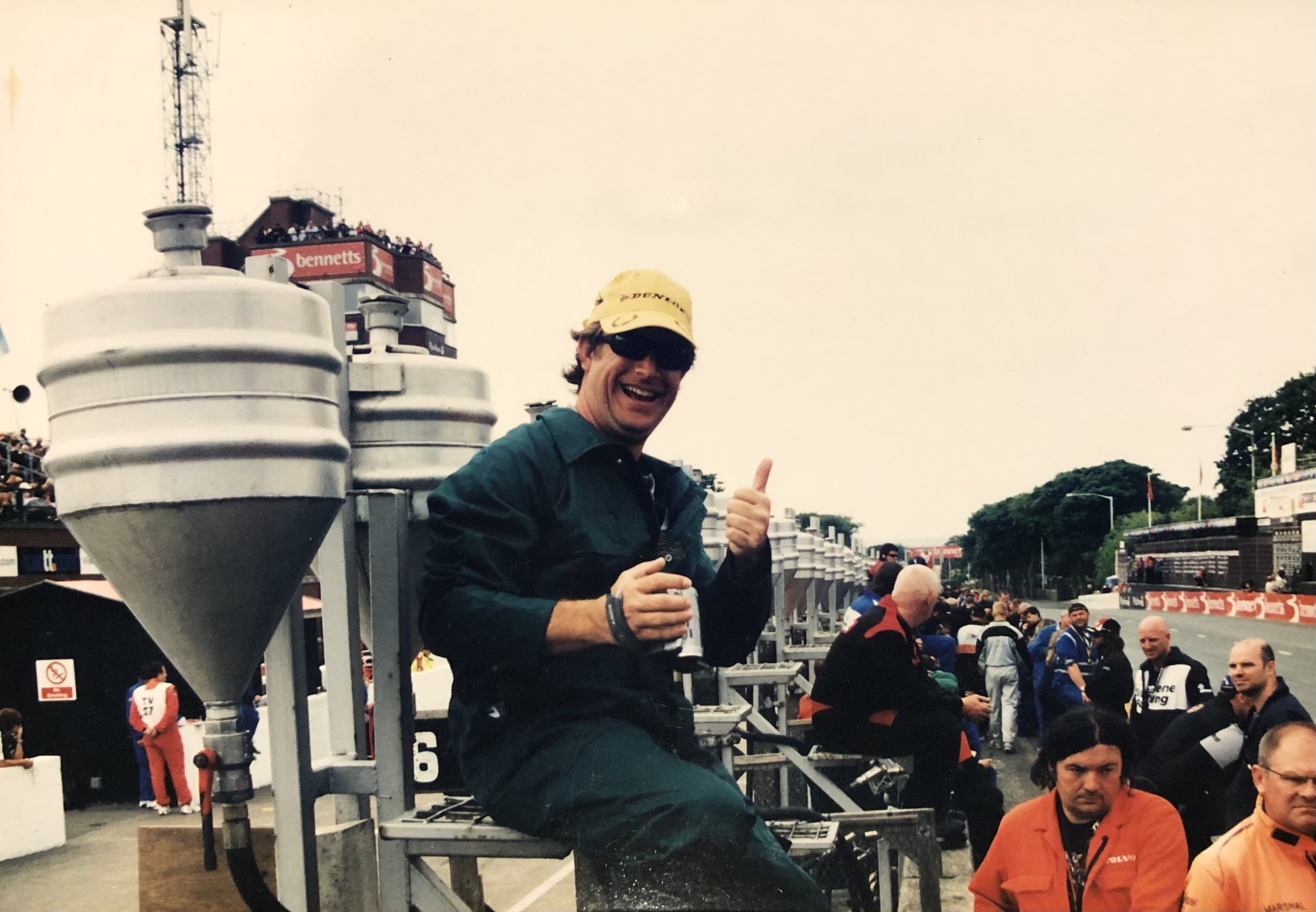
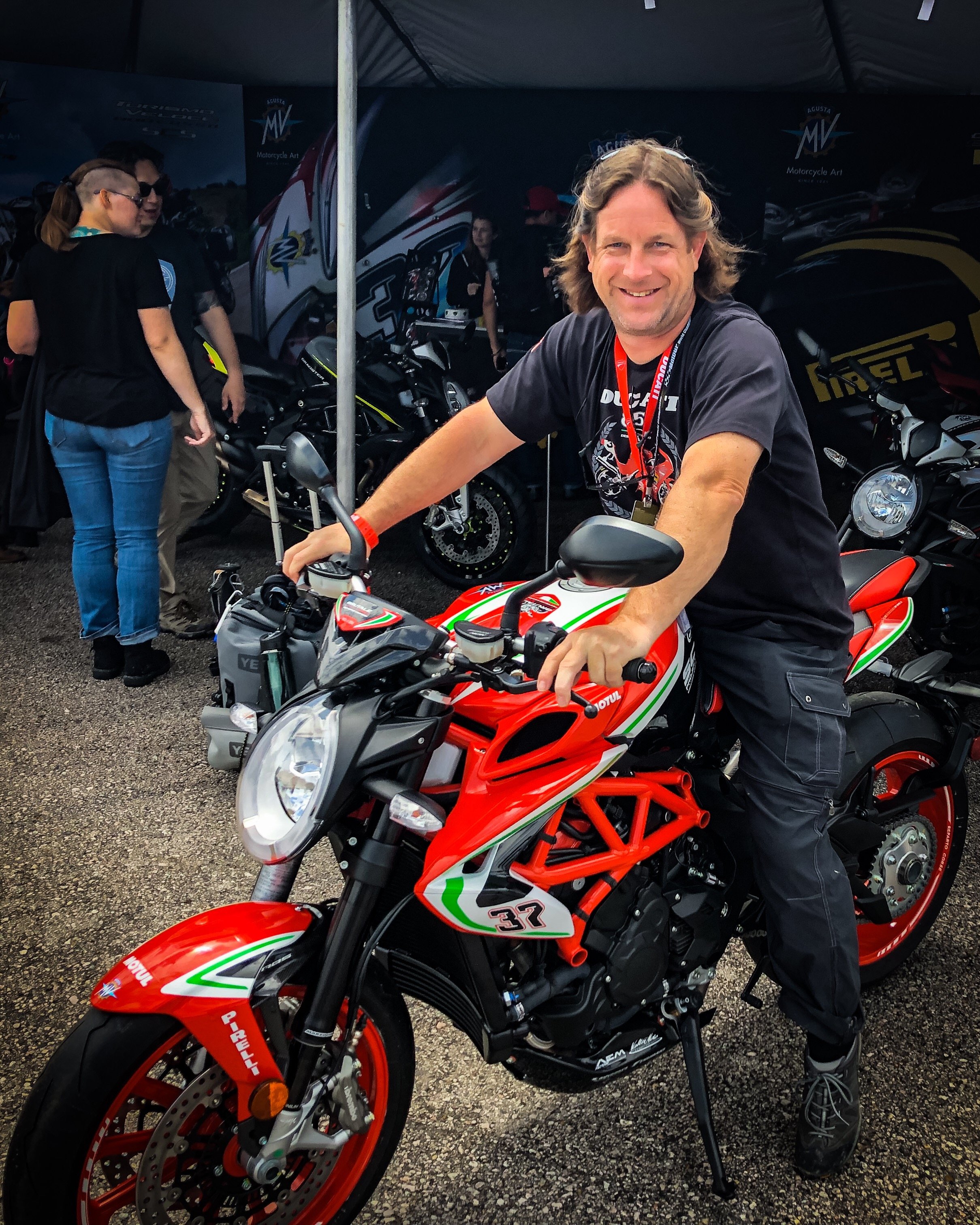
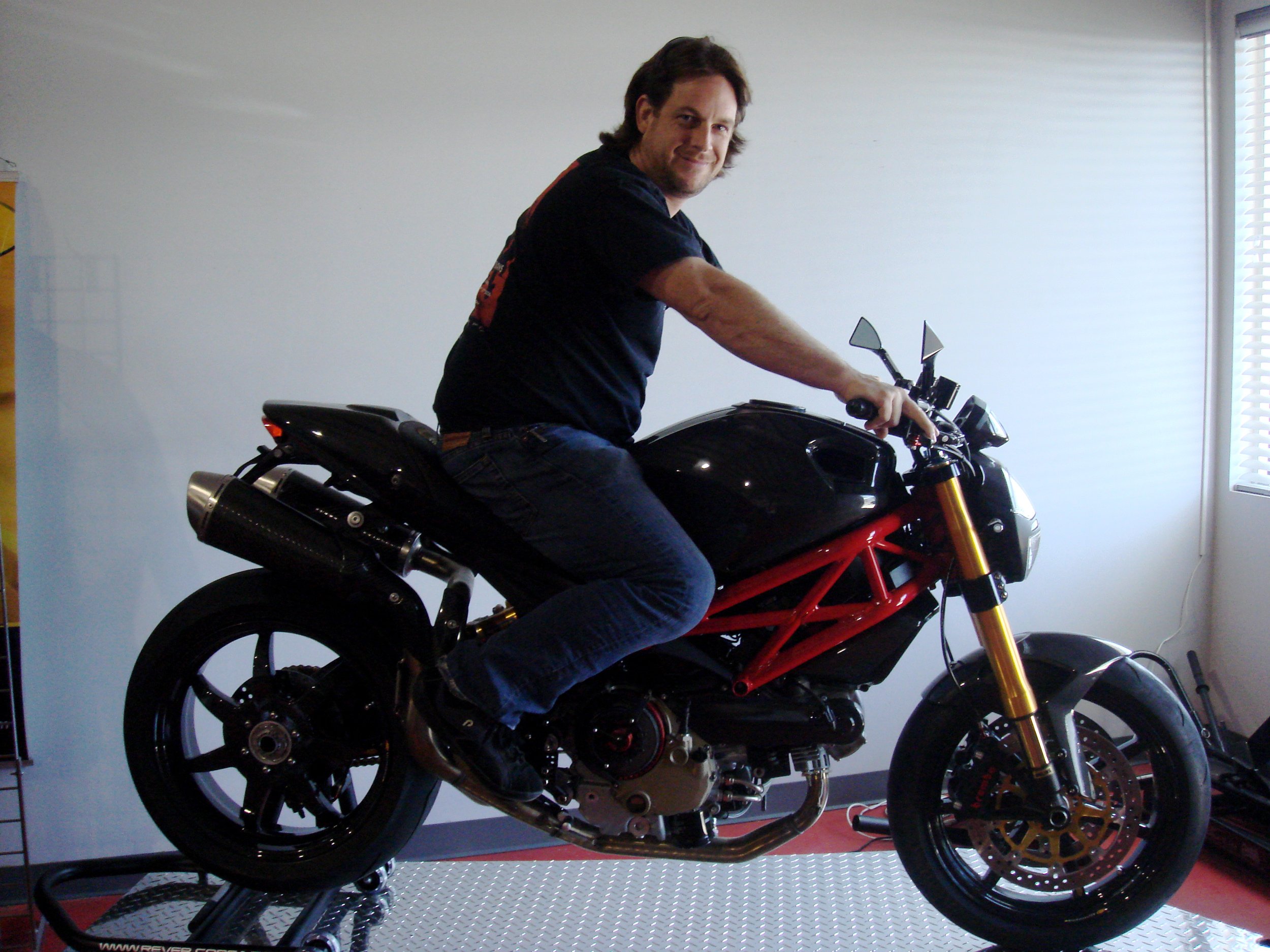
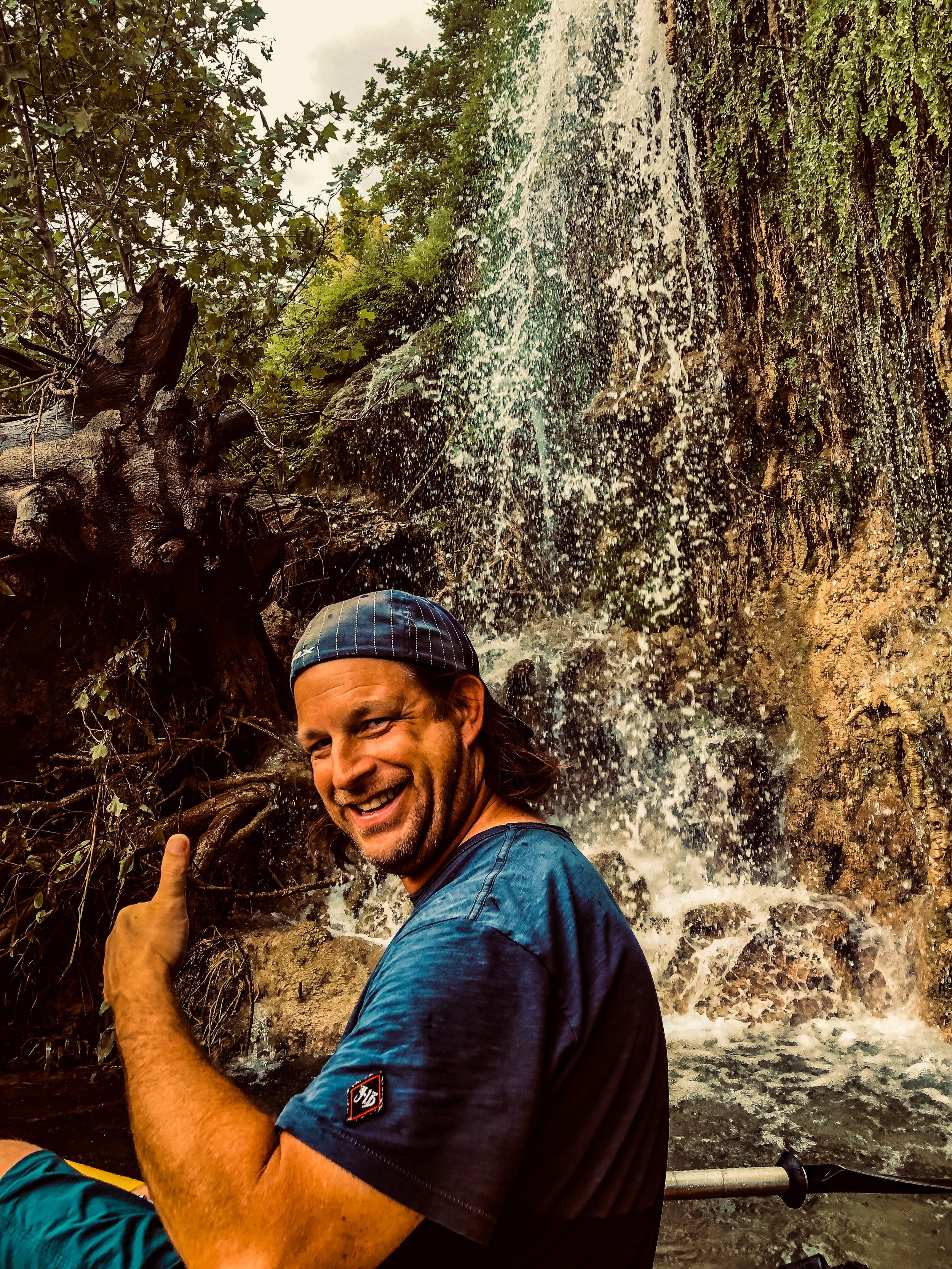
I’m the craftsman behind McKnz — a studio built on decades of adventure, hands-on experience, and a lifelong obsession with capturing motion, machines, and landscapes with precision and purpose.
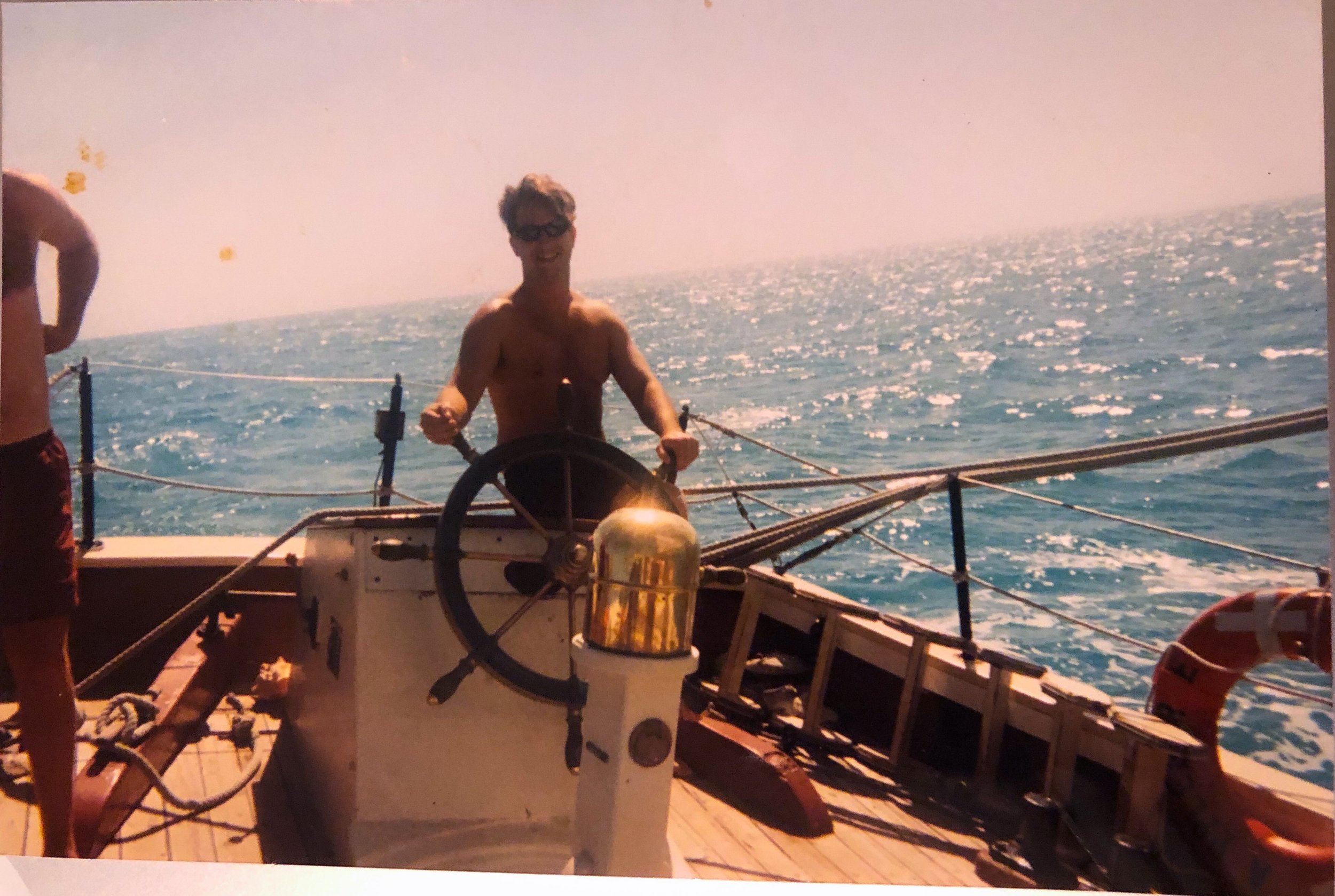
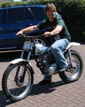
I started with a camera in one hand and an RC controller in the other, experimenting with anything that moved just to see what was possible. That curiosity grew into photography, 3D animation, and transportation design. I never took the traditional graduation route, but the years I invested in learning shaped my eye, sharpened my instincts, and built the foundation for everything I create now.
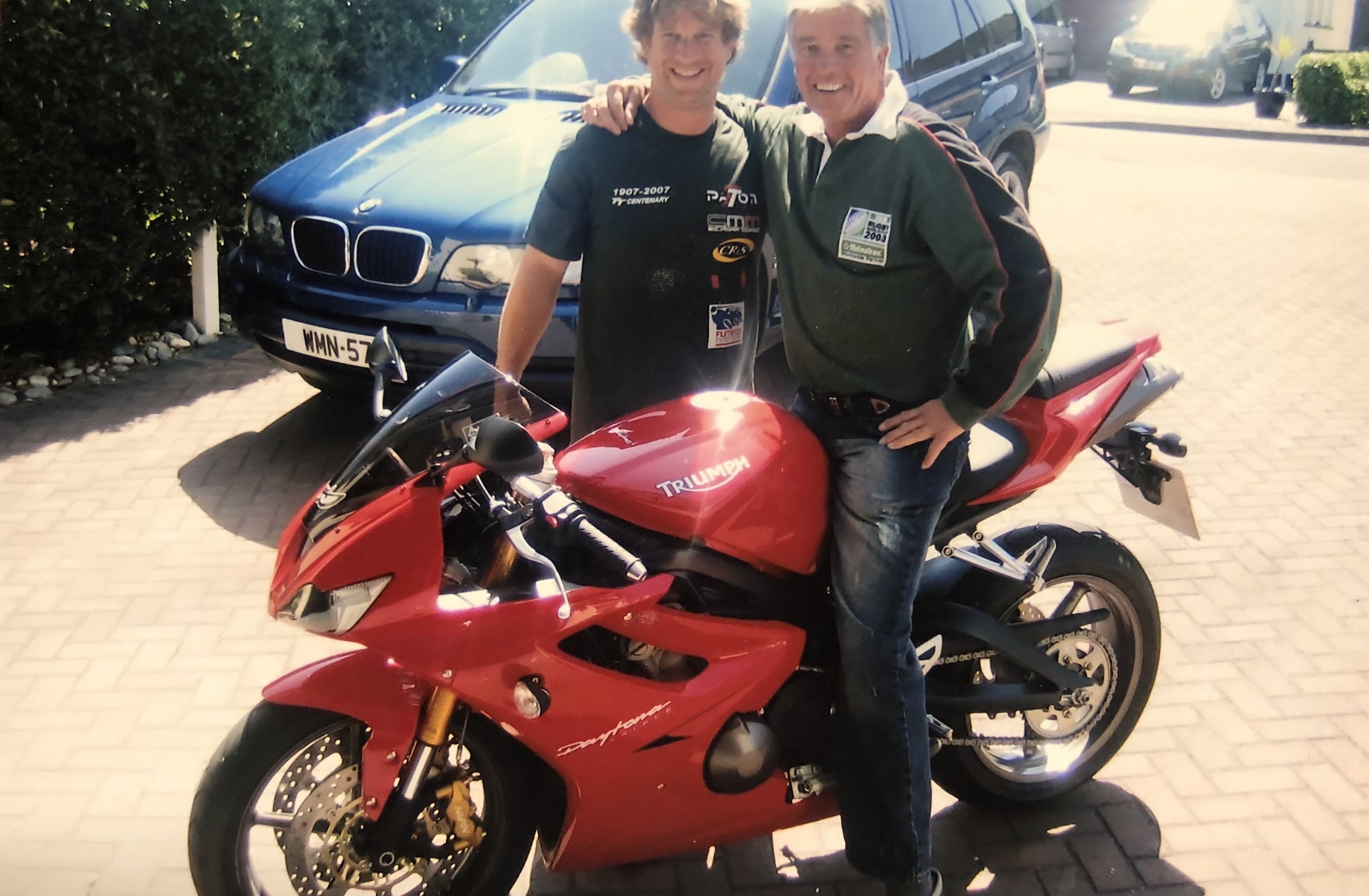
For over 35 years, my path has blended motorsports, design, and the outdoors.
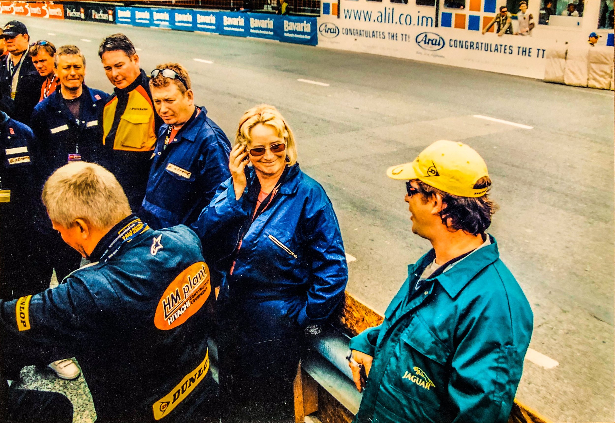
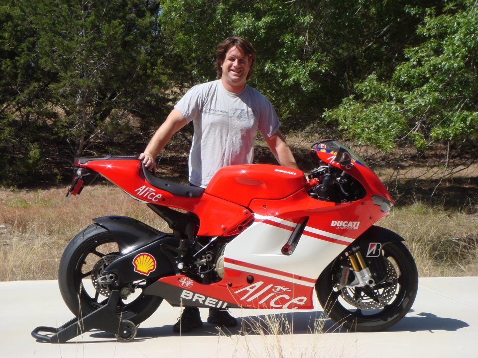
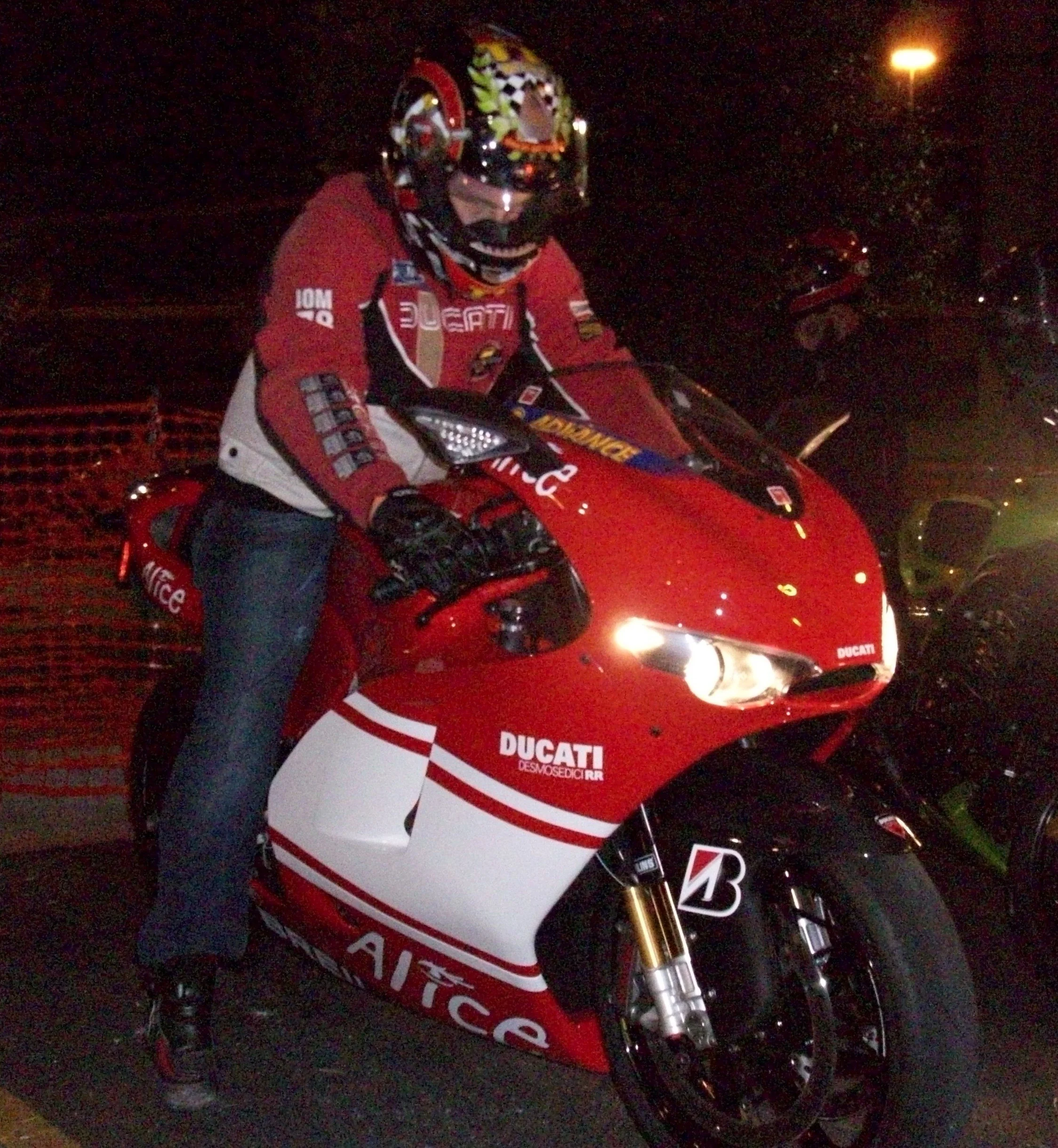
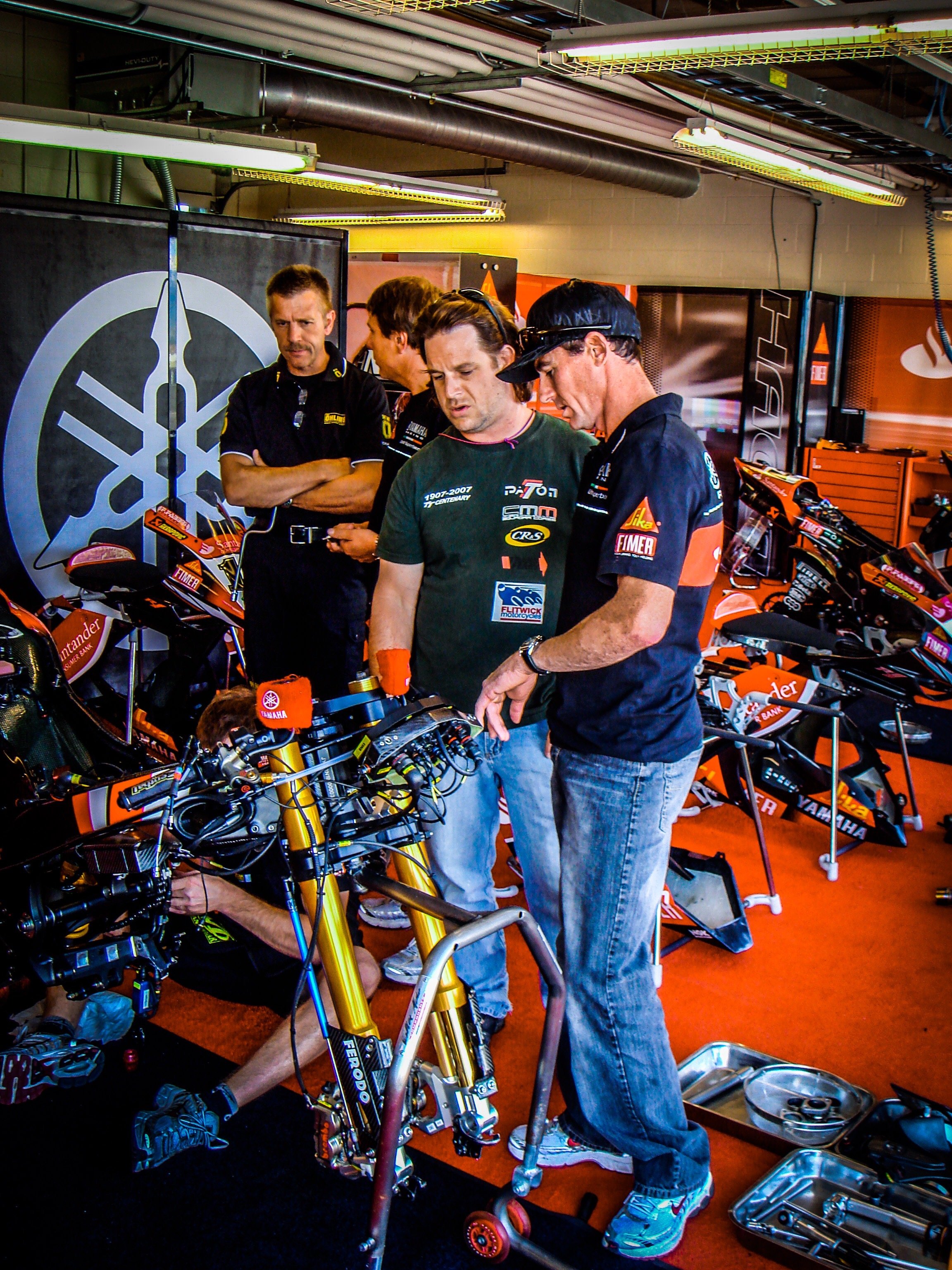
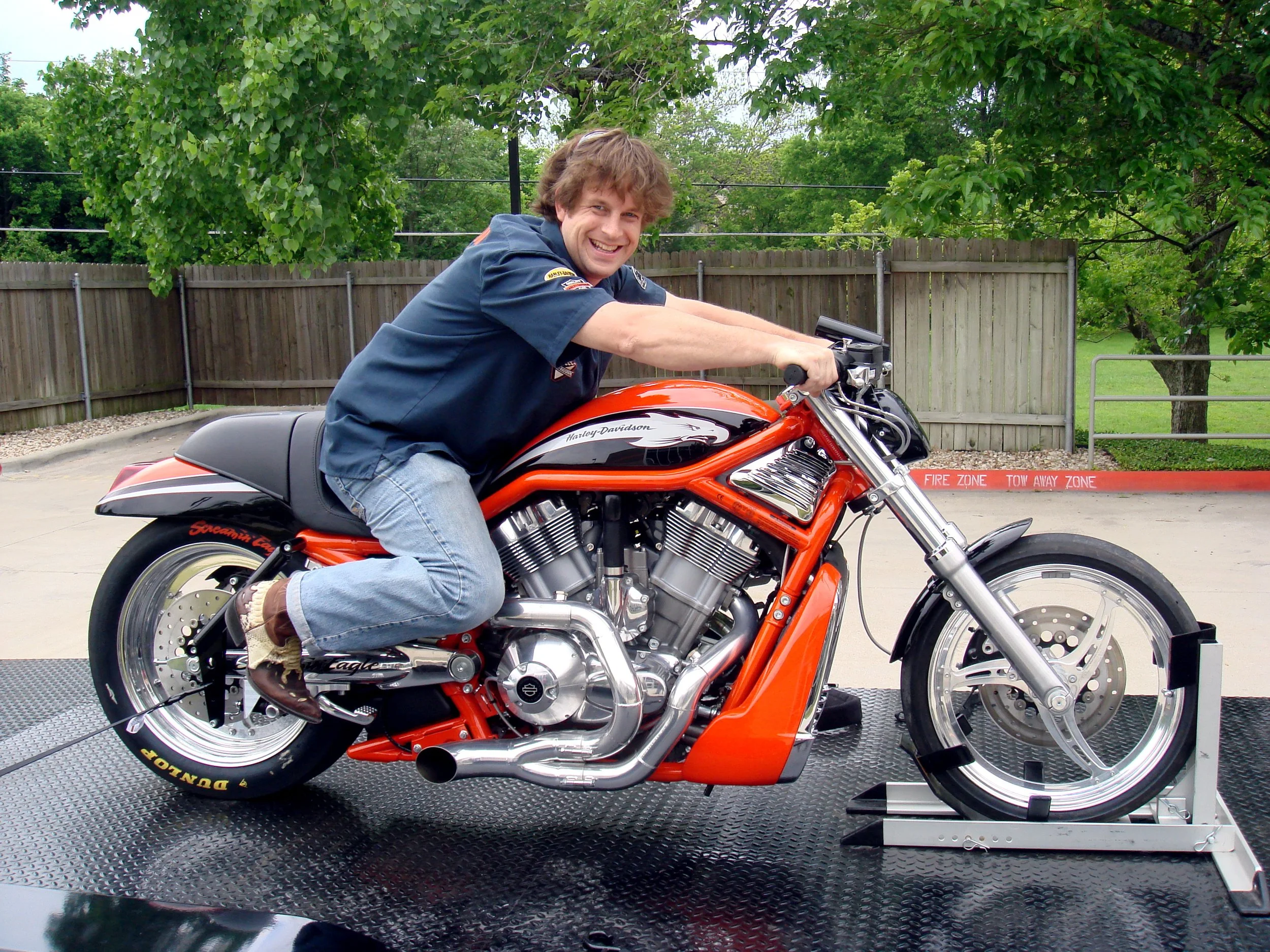
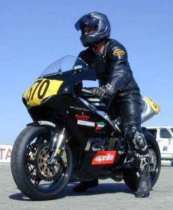
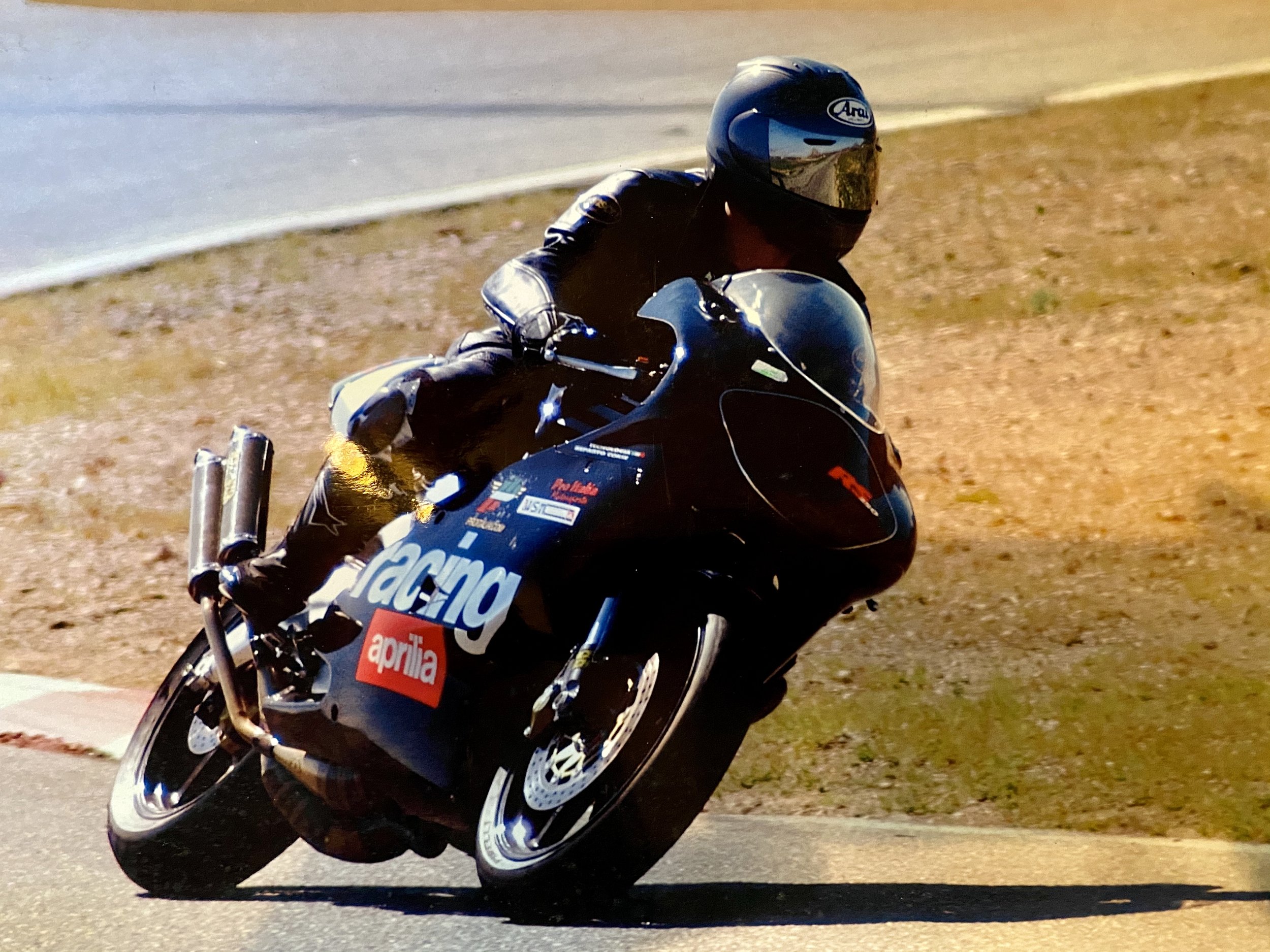
I’ve built and raced motorcycles, then turned around and photographed the same machines on track — at places like Laguna Seca, COTA, Pikes Peak, and the Isle of Man TT. I’ve run shops like Rever Corsa and Barnstormers, designing and building custom bikes while documenting racing culture from the inside.
My journey has never been linear.
It’s been driven by curiosity, craftsmanship, and the pursuit of capturing speed, grit, and beauty in equal measure.


STORE
To keep things clean and easy to navigate, all purchasing is handled through my dedicated Shopify storefront.
Squarespace is the gallery — Shopify is the checkout counter.
When you click Store, you’ll jump to a secure shop where everything is organized into simple collections: Shirts, Prints, and Albums. Every product is printed on demand using high-quality materials and shipped directly to you.
Browse here, shop there — it’s all part of the same McKnz experience.